 GammonApplications
Land Navigation Assistant (iOS, Android)
Land Nav Assistant is a mobile application privately developed and owned by Gammon Applications. It was born from direct experience with Army Land Navigation courses. The application accepts MGRS (Military Grid) or Latitude / Longitude coordinates and visually navigates you to each point.
This app was designed with Army, Marine, and other military personnel in mind. Use it to correct your Land Nav technique by analyzing your pace count and tendency to veer left and right.
Input multiple coordinates (8 or 10 digit military grid reference coordinates or latitude/longitude) and the application calculates the azimuth and distance from your current location to the input coordinates. Best of all, it will visually guide you in the correct direction. No compass or pace count necessary.
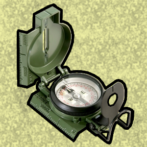
This application uses the Military Grid Reference System (MGRS) and Latitude / Longitude.
While the Course Navigator always displays an 8-digit coordinate, the app is actually using the full coordinate you input. 8 digit coordinates are displayed for simplicity.
DO NOT use this application while learning Land Navigation. Land Navigation is a valuable skill, and should be mastered before using this application. Do not rely solely on this application for navigation, especially when lost. Always be aware of your surroundings.